
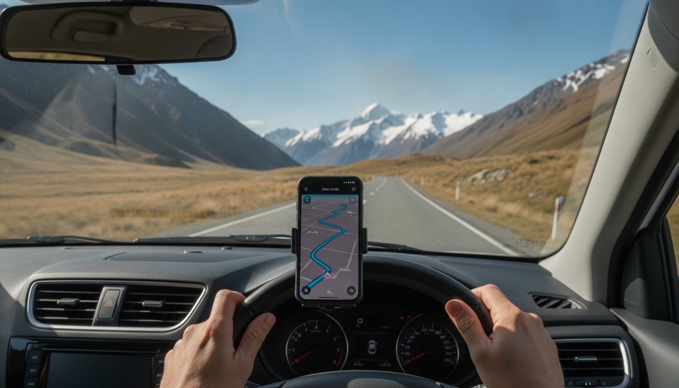
You're winding through a South Island alpine pass when your mobile signal bars suddenly vanish, just as a "Road Closed" sign appears around the next bend. It’s a classic Kiwi driving moment that can turn a dream trip into a stressful ordeal in seconds. Finding the best navigation app for New Zealand isn't just about getting from Auckland to Wellington; it's about staying safe when the pavement turns to gravel and the weather shifts. We know that our local roads require more than just a blue dot on a screen. You need a tool that handles unique terrain, from busy city motorways to remote mountain passes.
It's frustrating when your arrival time is off because of a winding road or when you're worried about data costs in dead zones. We've tested the top tools for 2026 to ensure you have reliable directions and real-time hazard alerts. In this guide, you'll discover how a hybrid approach using global favorites alongside local gems like Gaspy and the NZTA Journey Planner makes your journey seamless. We'll show you how to master offline maps, find the cheapest fuel, and navigate the latest 2026 road rules with total confidence.
Key Takeaways
- Combine global tools like Google Maps and Waze to balance detailed business reviews with real-time community alerts for hazards and police.
- Discover why the best navigation app for new zealand is actually a "hybrid" strategy that pairs international maps with local tools like Gaspy for the best fuel prices.
- Learn how to download offline maps before you leave the city to stay on track even when mobile signals vanish in remote areas like Fiordland.
- Get practical advice on handling unique Kiwi road features, including one-lane bridges and how to adjust app settings to avoid unsealed gravel roads.
- Understand how choosing the right vehicle and equipment, such as a compact SUV and snow chains, makes navigating alpine passes much safer and easier.
The Big Three: Google Maps, Waze, and Apple Maps in NZ
Most travelers landing in Auckland or Christchurch instinctively reach for their phones to find the best navigation app for New Zealand. While global giants dominate the market, their performance varies significantly once you leave the city limits. Google Maps remains the most reliable all-rounder for general accuracy and business data. Waze excels in urban centers like Wellington and Auckland by providing real-time community alerts. Meanwhile, Apple Maps has made massive strides in lane guidance, which is a lifesaver when navigating the complex interchanges of the Spaghetti Junction. It’s about choosing the right tool for the specific leg of your journey.
Before committing to one platform, it is helpful to look at a Comparison of satellite navigation software to understand the technical differences in how these apps process data. In New Zealand, the biggest challenge isn't just the software; it's the "NZ Time" factor. All three apps often struggle to calculate accurate arrival times on our winding, narrow rural roads. A 100km stretch in the Waikato isn't the same as 100km on a flat motorway. We recommend adding a 15 to 20 percent buffer to any app's estimated arrival time to account for sharp bends and steep gradients.
Google Maps: The King of Local Discovery
Google Maps is unbeatable for finding hidden gems in small towns. If you're driving through the Waikato and need a caffeine fix, the "Search Along Route" feature lets you find top-rated cafes without deviating from your path. It integrates seamlessly with local reviews, helping you pinpoint the best South Island viewpoints or reliable fuel stops. Just remember to check the "Last Updated" tag on business hours. In rural areas, hours can change seasonally, and a quick check prevents a wasted trip. Its massive database makes it the best navigation app for New Zealand when you need to find a specific local business or service.
Waze vs. Google: Which Wins for Safety?
When it comes to real-time safety, Waze often has the edge in populated areas. Because it relies on active users, you'll get instant alerts for livestock on the road, one-lane bridges, or temporary roadworks that static maps might miss. This makes it a preferred choice for commuters in Christchurch and Auckland. However, Waze is only as good as its community. In remote parts of the West Coast with fewer drivers, Google’s massive data pool usually provides a more consistent experience. For the safest trip, use Waze in the city to dodge traffic and switch to Google Maps for long-haul rural stretches where data points are fewer.
Essential "Local" Apps for the NZ Road Trip
While the "Big Three" apps handle your turn-by-turn directions, a truly stress-free journey requires local context that global platforms often miss. Integrating specialized New Zealand apps into your digital toolkit transforms a basic drive into a well-managed expedition. These tools help you avoid unnecessary costs and stay ahead of the country's notoriously changeable conditions. When you pair these with the best navigation app for New Zealand, you ensure that your trip is defined by the scenery rather than the stress of the unknown.
Gaspy: Saving Money at the Pump
Fuel costs can fluctuate wildly between urban centers like Auckland and remote South Island townships. Gaspy is a crowdsourced tool that tracks prices in real-time, often revealing differences of 20 to 30 cents per litre between stations just a few kilometers apart. This is particularly useful in 2026 as fuel prices remain a significant part of any travel budget. Before you head into the Southern Alps or the rugged West Coast, checking Gaspy is essential. Fuel stations become sparse in these regions, and prices typically climb as supply lines lengthen. You can filter by specific fuel types like 91, 95, or Diesel to ensure you find exactly what your vehicle requires before hitting the open road.
Safety First: GeoNet and MetService
New Zealand's geography is spectacular but demands respect. According to the official New Zealand Road Code, drivers must adjust their behavior for narrow, winding roads and unpredictable weather. MetService is your primary defense against the elements. Its local rain radar is critical for checking conditions before crossing alpine passes like Arthur’s Pass or the Crown Range. Understanding local terminology is key; a "Road Snow Warning" might mean you need to arrange for snow chain hire to ensure safe passage through high-altitude routes. GeoNet provides another layer of security by monitoring seismic activity and natural hazards. Setting up location-based alerts ensures you aren't caught off guard by slips or road-impacting events in remote areas.
Even if you aren't in a campervan, CamperMate is a brilliant addition to your phone. It’s the most effective way to find public toilets, dump stations, and those "hidden gem" picnic spots that aren't always marked on standard maps. When you combine these local tools with the best navigation app for New Zealand, you gain a level of control that makes every kilometer more enjoyable. If you’re planning a trip from Auckland or Christchurch, choosing a reliable rental car equipped for these conditions is the final piece of the puzzle.
Beating the "No Signal" Trap: Offline Map Strategies
New Zealand has impressive mobile network coverage, with 4G LTE reaching approximately 99% of the population. However, that statistic is based on where people live, not where they drive. Once you enter the rugged landscapes of the West Coast, Fiordland, or the mountainous interior of the South Island, you will encounter vast "data deserts." Relying on a live connection in these areas is a recipe for getting lost. Selecting the best navigation app for New Zealand often comes down to how well the software performs when the bars on your phone disappear. Preparing for these black holes before you leave your hotel is the most effective way to ensure a stress-free journey.
How to Download Offline Google Maps
Google Maps is the most popular choice for travelers, but its true power in New Zealand lies in its offline functionality. To avoid getting stuck without directions, follow these simple steps while you still have a strong Wi-Fi connection:
- Open the app and search for your general destination, such as "West Coast" or "Southland."
- Tap your profile icon in the top right corner and select "Offline maps."
- Tap "Select Your Own Map" and adjust the square to cover your entire planned route.
- Hit "Download" and wait for the process to finish.
This allows the app to provide turn-by-turn directions and locate points of interest even when you have zero mobile signal. It's a simple precaution that removes a significant layer of travel anxiety.
Alternative Offline Navigators
While Google is excellent, other apps specialize in offline reliability. HERE WeGo is a professional-grade alternative that allows you to download the entire map of New Zealand as a single file. It’s highly efficient and doesn't require the same manual area selection as Google. For those planning to explore more remote rural tracks, MAPS.ME is often considered the best navigation app for New Zealand adventure seekers. It uses OpenStreetMap data, which frequently includes smaller gravel roads and trails that larger apps might overlook. Regardless of the app you choose, your phone's battery will drain quickly when using GPS in low-signal areas. We recommend using a high-quality 12V car charger to keep your device powered throughout the day.
To manage your data costs when you are within coverage, consider using a local eSIM from providers like Nomad or Airalo. These services offer cost-effective data plans that are much cheaper than international roaming. For travelers who want to feel more tech-savvy, Achieve With Nate Movement provides digital coaching to help you master these tools. Even with the best digital tools, carrying a physical backup map is a smart move for long South Island journeys. Technology can fail, but a paper map doesn't need a battery or a satellite to show you the way home.

Navigating New Zealand Road Quirks and Hazards
Even the best navigation app for New Zealand cannot account for every local quirk you will encounter on our highways. While your phone provides the route, it rarely explains the specific rules of the road that keep Kiwi traffic flowing safely. One of the most common surprises for international drivers is the one-lane bridge. Your app will show a continuous line, but it won't tell you who has the right of way. You must look for the official "Give Way" signs and the red and black arrows that indicate which direction must stop. Relying solely on a screen in these moments is dangerous; always prioritize the physical signage over the digital prompt.
Gravel roads are another factor that global algorithms often misjudge. Many "shortest route" suggestions may lead you onto unsealed surfaces that aren't suitable for a standard compact hatchback or intermediate sedan. To protect your vehicle and your peace of mind, go into your app settings and toggle "Avoid Unpaved Roads." This ensures you stay on high-quality sealed surfaces, which is especially important when navigating the hilly terrain around Auckland or the winding passes of the South Island.
The NZTA Journey Planner: A Driver’s Best Friend
For the most accurate real-time data, the Waka Kotahi (NZTA) Journey Planner is the essential companion to your primary navigation tool. As of July 2026, new road rules are in effect, including a requirement for drivers to give way to buses pulling out from stops in areas with speed limits of 60km/h or less. The Journey Planner is the only source that consistently tracks these regulatory updates alongside "High Impact" closure alerts. Before you set off, check for planned roadworks or "Stop/Go" delays that could add hours to your trip. This is particularly vital during the winter season when alpine routes like Arthur’s Pass and Lewis Pass can close due to snow. Integrating these updates with safe driving practices ensures you remain in control of your schedule.
Avoiding the "Shortest Route" Trap
Navigation algorithms prioritize efficiency, but in New Zealand, the "shortest" path is often a narrow mountain track that requires advanced driving skills. We recommend using the "Street View" feature in your app to preview difficult intersections or narrow bridges before you arrive. If you see an official detour sign that contradicts your app, always follow the sign. Local authorities update physical signage faster than digital maps can sync with road-impacting seismic activity or weather events. If you want a vehicle that handles these unique conditions with ease, we recommend you choose a reliable compact SUV for your journey.
Seamless Travel with Drive NZ Rental Cars
While your smartphone holds the maps, your vehicle is what actually brings the journey to life. We believe that digital tools and local expertise should work together to create a smooth travel experience. Even the best navigation app for New Zealand can't replace the peace of mind that comes from a well-maintained vehicle and a support team that knows the local roads. Since 2005, we've focused on providing practical, reliable fleet categories that suit our unique landscape. Whether you are navigating the urban sprawl of Auckland or the quiet backroads of the South Island, we ensure you have the right tools for the job.
Algorithms are excellent at calculating distances, but they don't always understand the nuances of Kiwi driving. Much like how international travelers might book Arches National Park guided tours to navigate complex terrain that apps can't fully capture, our team provides the human element that digital maps lack in New Zealand. When you pick up your car, we can offer advice on current local conditions that might not have hit the live feeds yet. This combination of modern tech and regional roots is what makes the Drive NZ experience different. We prioritize your time and safety, ensuring that the transition from the airport terminal to the driver's seat is as efficient as possible.
Auckland and Christchurch Pickup Guide
Our depots are strategically located near both Auckland and Christchurch airports to get you on the road quickly. Once you land, simply use your preferred app to navigate from the terminal to our pickup points. We recommend setting our rental depot as your "Home" or a "Favorite" location in your app as soon as you arrive. This small step makes your return journey at the end of the trip completely stress-free, as you won't be fumbling with addresses while trying to catch a flight. For those starting their journey in the North Island, read our Auckland rental guide for more specific arrival and navigation tips.
The Perfect Vehicle for Your Journey
Matching your vehicle to your destination is a key part of successful navigation. If your best navigation app for New Zealand is mostly guiding you through city streets or coastal highways, a compact hatchback or intermediate sedan is a fantastic, fuel-efficient choice. However, for those heading into the Southern Alps or exploring hilly terrain, a compact SUV provides the extra visibility and comfort required for longer drives.
We ensure our fleet is equipped to handle the tech you rely on. Most of our vehicles feature seamless phone integration through Apple CarPlay or Android Auto. This allows you to project your maps directly onto the car's display, keeping your focus on the road ahead. If your route includes high-altitude passes during the colder months, we also offer snow chains to ensure you can safely follow those alpine navigation prompts. Ready to start your adventure? Book your Drive NZ rental car today and experience the best of New Zealand with a partner you can depend on.
Start Your New Zealand Adventure with Confidence
You're now equipped to handle everything from Auckland's busy motorways to the rugged beauty of the West Coast. By combining global platforms with essential local tools like Gaspy and the NZTA Journey Planner, you've created a personalized digital co-pilot for your trip. It is clear that the best navigation app for New Zealand is most effective when paired with solid preparation, such as downloading offline maps and checking for real-time road closures before you depart.
At Drive NZ, we've been helping travelers navigate our unique roads since 2005. With convenient locations in Auckland and Christchurch, our team provides the local expertise and support that an algorithm simply can't match. Whether you need a practical compact SUV for hilly terrain or snow chains for an alpine pass, our reliable fleet is ready for your journey. Explore the Drive NZ Fleet and Book Your 2026 Rental today. We look forward to seeing you on the road and helping you make the most of your time in Aotearoa.
Frequently Asked Questions
Does Google Maps work offline in New Zealand?
Yes, Google Maps works offline if you download specific map areas while you have a stable Wi-Fi connection. This is a vital step for using the best navigation app for New Zealand when heading into remote regions. You can save large sections of the North or South Island directly to your device, ensuring turn-by-turn directions continue even in areas with zero mobile signal.
Is Waze or Google Maps better for driving in Auckland?
Waze is generally superior for Auckland’s motorways because it uses real-time community data to dodge peak-hour traffic jams. While Google Maps is excellent for finding specific business reviews, Waze provides instant alerts for police, accidents, and temporary roadworks. Using both gives you the best balance of local discovery and efficient commuting through the city’s complex interchanges.
How do I find out about road closures in the South Island?
The NZTA Journey Planner is the most reliable source for road closures across the South Island. It provides live updates on high-impact events like snow closures on alpine passes or slips on the West Coast. We recommend checking this tool every morning before you leave your accommodation, especially during the winter season when weather can change rapidly.
What is the best app for finding cheap petrol in NZ?
Gaspy is the most effective app for finding the cheapest fuel in New Zealand. It uses crowdsourced data to show real-time prices at stations near you, which can save you 20 to 30 cents per litre in cities like Christchurch or Auckland. You can even filter by fuel grade to find exactly what your compact hatchback or SUV requires.
Do I need a GPS unit if I have a smartphone and a rental car?
A dedicated GPS unit isn't strictly necessary if your smartphone is reliable and your rental car supports Apple CarPlay or Android Auto. Most Drive NZ vehicles include this integration, allowing you to project your phone's screen onto the dashboard. However, a GPS unit can be a helpful backup if you are worried about phone battery life or data roaming in remote areas.
Are there many areas in New Zealand without mobile phone signal?
Yes, significant portions of the South Island and mountainous regions have no mobile signal at all. While 4G and 5G cover most populated towns, the highways through Fiordland and the West Coast are often "offline." This makes downloading maps and using specialized offline tools essential for any long-distance Kiwi road trip to avoid getting lost.
Can I use my home country’s navigation app in New Zealand?
You can certainly use your home country’s navigation apps like Google Maps or Apple Maps, as they function globally. The interface remains the same, so there is no new learning curve for you. Just ensure you have a local eSIM for data or have downloaded offline maps to avoid high international roaming charges while you explore.
How accurate are the estimated arrival times on NZ navigation apps?
Arrival times are often optimistic and don't always account for the reality of winding, narrow Kiwi roads. While they are technically accurate for distance, they don't factor in the fatigue of driving on steep gradients or the time spent waiting at one-lane bridges. We suggest adding a 15 percent time buffer to any estimate provided by the best navigation app for New Zealand.


