
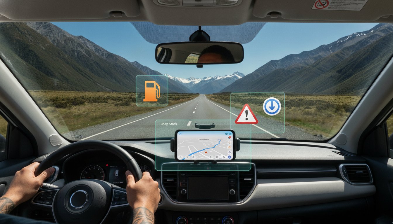
Imagine winding through the Southern Alps when your GPS signal suddenly vanishes exactly as you approach an unmarked fork in the road. It is a common fear for many travelers, but finding the best app for navigating New Zealand is not just about choosing one icon on your home screen. In 2026, conquering our narrow roads and avoiding expensive petrol prices requires a strategic ecosystem of tools rather than a single download.
We know that driving in a new country can feel overwhelming, especially with recent 2026 road rule updates and fuel costs sitting at $3.26 per liter for Octane-95. You want to focus on the scenery, not the stress of missing a one-way bridge warning or a sudden road closure. This guide will provide you with a fail-proof navigation setup that keeps you moving even in dead zones. We will preview the essential "Map Stack" you need to handle real-time hazards, find the cheapest fuel, and stay compliant with the latest local regulations. By the end of this article, you will have the confidence to explore every corner of the islands with total peace of mind.
Key Takeaways
- Learn why a "Map Stack" of multiple tools is essential to overcome mobile blackspots and unique road conditions on the "Kiwi Mile."
- Compare Google Maps and Waze to determine the best app for navigating New Zealand based on your specific route and hazard reporting needs.
- Discover how to use community-driven apps like Gaspy to find the lowest fuel prices and save money at the pump.
- Master the step-by-step process for caching offline maps and setting up an eSIM to ensure you never lose your way in remote areas.
- See how modern fleet technology and choosing the right vehicle, like a Compact SUV, can simplify your navigation experience through the Southern Alps.
Why Navigation in New Zealand Requires a Unique Strategy
New Zealand’s landscape is a driver’s dream, but it is also a technical challenge for even the most advanced software. Many visitors arrive thinking their favorite city-based map will guide them effortlessly. However, the reality of our "thin" network means that geographic coverage often lags behind population statistics. Finding the best app for navigating New Zealand requires understanding that our roads are unique and often unforgiving. Between the narrow one-way bridges of the West Coast and the unsealed gravel roads of the deep South, standard algorithms frequently struggle to keep up with the physical reality of the terrain.
Real-time hazard data is not a luxury here; it's a necessity. Our islands are prone to sudden weather shifts that can cause slips or localized flooding in minutes. If your navigation tool doesn't account for these variables, you risk being redirected onto a route that is technically "shorter" but practically impossible. Staying safe means being prepared for the unexpected and following the official New Zealand Road Code to handle these specific conditions. You should be aware of several critical features that standard maps often overlook:
- One-way bridges: These are common in rural areas and require strict adherence to give-way rules.
- Unsealed roads: Many scenic routes include gravel sections that demand lower speeds and higher concentration.
- Livestock crossings: It is not unusual to find a flock of sheep or a herd of cattle blocking a state highway.
- Steep gradients: Sharp inclines can affect fuel consumption and vehicle handling more than apps predict.
The Reality of Mobile Coverage in the South Island
While 4G LTE covers roughly 99% of the population, that figure is misleading for road trippers. Huge swathes of the Southern Alps and remote coastal highways have zero data reception. In these "dead zones," your phone might still show a GPS location, but it cannot download new map data or calculate a detour. Relying solely on cloud-based routing often leads to frustrating "Route Calculation Errors" just when you need guidance most. This data gap creates psychological stress for drivers who aren't used to navigating without a constant digital tether. You need a setup that functions perfectly when the signal drops.
Topography and Travel Time Distortions
The "Kiwi Mile" is a local concept every visitor should learn quickly. A 100-kilometer stretch in New Zealand rarely takes one hour. Winding mountain passes and steep gradients mean your average speed might drop significantly. Standard navigation apps often overpromise on arrival times because they don't fully account for the mechanical reality of driving through alpine terrain. The "shortest route" on a map might actually be a slow, unsealed road that adds hours to your journey. Always build in a buffer for livestock crossings or the inevitable photo stops at scenic lookouts. The best app for navigating New Zealand is one that helps you plan for the journey, not just the destination.
Google Maps vs. Waze vs. Apple Maps: The 2026 Comparison
Choosing the best app for navigating New Zealand often comes down to where you plan to spend most of your time. If you are sticking to the urban sprawl of Auckland or Wellington, your needs differ wildly from someone crossing the Haast Pass. In 2026, the big three players have refined their features, but each still has distinct strengths and weaknesses that can make or break your road trip. Understanding these nuances is the first step toward a stress-free journey.
Google Maps: The All-Rounder for Kiwi Explorers
Google Maps remains the undisputed king of local business data. It is the most reliable tool for finding hidden campsites, scenic lookouts, and specific petrol stations in rural townships. However, it sometimes struggles with New Zealand's "paper roads," which are legal roads on a map that are actually just grass paddocks or private farm tracks. To avoid these traps, always cross-reference your route with the official guide for visiting drivers provided by the NZ Transport Agency. The "Download Offline Maps" feature is your most important tool. By caching maps for the entire South Island before you leave your hotel, you ensure that navigation continues even when mobile data disappears in the deep valleys.
Waze: The Urban Navigator’s Secret Weapon
Waze is the urban navigator's secret weapon. It excels at routing you through Auckland’s notorious congestion by using real-time data from other drivers. In 2026, its community alerts for potholes and speed traps on State Highway 1 are incredibly accurate. The main limitation is user density. Once you head into the remote reaches of Fiordland or the East Cape, the lack of active users means those helpful hazard reports dry up. It's a brilliant tool for the city, but it shouldn't be your only navigation source on a long-haul journey through the wilderness.
Apple Maps has seen significant improvements in 2026, particularly regarding visual clarity and lane guidance. Its detailed city experiences make complex highway interchanges much easier to manage. Its high-contrast interface makes it a strong contender for the best app for navigating New Zealand when you need clear, glanceable directions during difficult weather conditions. However, for a comprehensive journey that spans from city streets to rugged coastlines, a combination approach is usually best. Many experienced drivers prefer Google for planning and points of interest while switching to Waze for the final leg through city traffic.
Regardless of which software you prefer, the hardware matters just as much. Most modern rentals, like the reliable vehicles at Drive NZ Rental Cars, come equipped with Apple CarPlay and Android Auto. This allows you to project these apps directly onto the dashboard, keeping your hands off your phone and your eyes on the stunning scenery. Using these integrated systems ensures you stay compliant with local laws while enjoying the most up-to-date mapping data available.
Essential Secondary Apps for Your New Zealand Road Trip
While your choice for the best app for navigating New Zealand handles the directions, it doesn't account for the local variables that impact your wallet and safety. A successful road trip requires a suite of specialized tools to handle our unique environment. This ecosystem of apps ensures you aren't just following a blue line, but actively managing your journey through shifting weather and varying fuel costs. Integrating these tools into your daily routine helps remove the friction of travel, allowing you to focus on the landscape instead of logistics.
Gaspy: Saving Money at the Pump
Fuel prices in New Zealand can be a significant expense. As of June 2026, Octane-95 is priced at $3.26 per liter, while diesel sits at $2.83. Gaspy is a vital companion for any driver because it reveals the massive price gap between competitive city centers and remote "last stop" stations where prices often spike. By checking the app before you leave a major town, you can save significant amounts over a two-week journey. Gaspy uses crowd-sourced data to update fuel prices hourly, ensuring you always have the most current information before you pull up to the pump.
GeoNet and MetService: Navigating by Safety
The local saying about "four seasons in one day" is a literal warning for anyone behind the wheel. MetService is essential for monitoring localized weather that standard global apps might miss. This is especially critical when planning to cross alpine passes like Arthur’s Pass or the Crown Range. A sudden snow warning can turn a scenic drive into a dangerous situation requiring snow chains. GeoNet provides a similar level of security by offering real-time alerts for earthquakes and volcanic activity. Using these tools together allows you to understand regional risks and adjust your route before you encounter trouble on the road.
CamperMate and Rankers NZ: More Than Just Camping
Some travelers overlook CamperMate because they think it is strictly for campervans. This is a mistake. These apps are featured among New Zealand's officially recommended travel apps for a good reason. They provide a comprehensive map of public toilets, rubbish bins, and hidden lookouts that don't appear on standard navigation software. Whether you are driving a Compact Hatchback or a Compact SUV, knowing where the nearest clean rest stop is makes a huge difference in your comfort. These platforms often feature community-uploaded photos of remote spots, helping you decide if a detour is actually worth the extra kilometers. By using these specialized tools alongside the best app for navigating New Zealand, you create a fail-proof system for every kilometer of your trip.

The Pro Navigator’s Setup: Caching and Connectivity
Having the best app for navigating New Zealand is only half the battle. If you cannot access your data when the road dips into a mountain valley, the software becomes useless. Professional travelers use a "Map Stack" strategy to ensure they stay on track regardless of signal strength. This involves a proactive approach to caching and connectivity that starts before you even leave the airport terminal. By following a few simple steps, you can remove the stress of signal loss and focus on the drive ahead.
How to Cache Google Maps Offline
Downloading offline maps is your primary defense against the dead zones of the West Coast and Southern Alps. It is a straightforward process that saves you from mid-drive route calculation errors. Open Google Maps, search for "South Island" or "North Island," and then pull up the bottom menu to select "Download." A full map of the South Island typically requires between 500MB and 1GB of storage. We recommend updating your cache at your accommodation WiFi every 48 hours. This ensures that any major road closures or permanent hazards are reflected in your offline data, keeping your navigation accurate even without a live connection.
Connectivity: eSIMs vs. Physical SIMs at NZ Airports
Immediate connectivity upon landing in Auckland or Christchurch is a game-changer for navigation. While physical SIM cards are available from Spark, One NZ, and 2degrees at airport kiosks, eSIMs are becoming the preferred choice for modern travelers. As of June 2026, providers like BitJoy offer 10GB eSIM data plans for approximately $16.99 USD, which is enough for several weeks of heavy navigation. For those needing more, a Spark endless data plan is priced at $43.00. Having your data live before you step into your car means you can immediately load your "Starry" locations, which are pre-saved markers for your accommodation, planned petrol stops, and must-see attractions.
Safety is just as important as signal. New Zealand law strictly prohibits holding or using a mobile phone while driving. You must program your destination before you start the engine. Ensuring your phone is mounted safely for hands-free use is a legal requirement that keeps you and other road users safe. For more details on local regulations and driving habits, check out our Driving in New Zealand for Tourists: The Ultimate 2026 Safety Checklist. This guide covers the essential rules that apps might not tell you.
To make the most of your digital setup, you need a vehicle that supports modern connectivity. Most of the fleet at Drive NZ Rental Cars features integrated technology that makes using the best app for navigating New Zealand effortless. We recommend you book a Compact SUV to ensure your navigation is displayed clearly on the dashboard, allowing you to keep your eyes on the road and your hands on the wheel through every winding pass.
Navigating with Confidence in a Drive NZ Rental Car
Even the best app for navigating New Zealand is limited by the hardware you use to run it. Trying to glance at a small smartphone screen while handling the tight curves of the Crown Range is both difficult and dangerous. To truly conquer our roads with confidence, your digital tools must integrate seamlessly with your vehicle. This connection turns a standard navigation task into a streamlined, hands-free experience that allows you to focus entirely on the unique driving conditions of the islands.
For drivers interested in owning a vehicle with these advanced capabilities, you can discover AutoDream, a smart car marketplace that connects buyers and sellers across 15 countries.
Smartphone Integration in Your Rental
Modern fleet technology has changed the way travelers interact with their maps. Most of our vehicles come equipped with Apple CarPlay and Android Auto, which project your navigation apps directly onto the large dashboard display. This is a significant safety advantage; it allows you to use voice commands to find the nearest petrol station or adjust your route without ever taking your hands off the wheel. Because wireless connections can sometimes be temperamental in remote areas, we recommend packing a high-quality USB cable as your most important navigation tool. A physical connection ensures your phone stays charged while providing a stable link to the car’s interface. For more advice on matching your tech needs with the right car, read our guide on the Drive NZ Rental Cars Fleet: Choosing the Perfect Vehicle.
Beyond the Screen: Local Knowledge
Algorithms are brilliant for traffic and distance, but they don't always understand the nuance of a New Zealand winter. Our teams in Auckland and Christchurch provide the human expertise that apps simply cannot replicate. When you pick up your car, we can offer real-time advice on which alpine passes are likely to be affected by black ice or sudden slips. This local insight is the perfect safety net for your digital setup. If your journey takes you into the high country during the cooler months, Drive NZ Rental Cars provides snow chains and can show you exactly how to fit them. This ensures that even if your app warns of a sudden snow closure, you have the physical tools to stay safe and mobile.
Choosing the right vehicle also plays a massive role in how you interact with your navigation. While a Compact Hatchback is excellent for city driving, a Compact SUV offers a higher driving position that provides better visibility on winding rural roads. This elevated view makes it easier to anticipate the one-way bridges and livestock crossings that your map might only announce at the last second. When you combine the best app for navigating New Zealand with a tech-ready vehicle and local support, you remove the complexity from your trip.
Ready to start your adventure with a partner who understands the road ahead? Book your tech-ready rental car with Drive NZ Rental Cars today and enjoy a modern, stress-free navigation experience from the moment you land.
Ready to Master the New Zealand Open Road?
Exploring our stunning landscapes should be about the views, not the stress of a lost signal. By combining offline map caching with a specialized suite of tools like Gaspy and GeoNet, you've built a toolkit that handles everything from remote mountain passes to busy city traffic. You now know that the best app for navigating New Zealand is actually a strategy of multiple tools working together on a reliable, well-connected device.
At Drive NZ, we ensure your vehicle is the strongest link in that navigation strategy. Our modern fleet features Apple CarPlay and Android Auto integration to keep your maps front and center while you stay focused on the drive. Whether you need expert winter driving advice or a set of snow chains for a South Island adventure, our teams in Auckland and Christchurch are here to support you with genuine local knowledge. Explore our modern, tech-ready rental fleet for your NZ adventure and start your journey with the confidence that comes from being truly prepared. We can't wait to help you get moving.
Frequently Asked Questions
Does Google Maps work offline in New Zealand?
Yes, Google Maps allows you to download specific regional data directly to your device. This is a critical step for anyone driving through the Southern Alps or the West Coast where mobile data is often non-existent. You should download these maps while connected to WiFi at your accommodation to ensure you have a reliable backup when the signal drops in remote areas.
Is Waze or Google Maps better for driving in Auckland?
Waze is generally superior for Auckland’s traffic because it uses real-time reports from thousands of local commuters to bypass accidents and roadworks. It helps you navigate the city's complex motorway system with more agility during peak hours. However, Google Maps remains the best app for navigating New Zealand when you need to find specific points of interest, such as cafes, shops, or hidden lookouts.
How do I find the cheapest petrol in New Zealand?
Gaspy is the most effective tool for finding the lowest fuel prices in your immediate area. It relies on a community of users who update prices hourly, which is vital when Octane-95 can cost as much as $3.26 per liter. Using the app to find a cheaper station in a major town before you head into rural areas can save you significant money over a long road trip.
Will my phone GPS work in the New Zealand mountains without signal?
Your phone's GPS hardware functions independently of mobile data, so it will still track your coordinates in the mountains. However, without a data signal, your phone cannot download the map images around your location. You must have offline maps already saved to your device to see the roads and terrain when you're outside of cell coverage.
Do I need a special app for electric vehicle (EV) charging stations in NZ?
Yes, you should download PlugShare or the ChargeNet app for the most accurate information on charging locations. While standard maps are improving, these specialized apps provide real-time data on whether a charger is currently in use or out of order. They also specify the exact connector types available, which is essential for planning a stress-free journey in an EV.
Can I use Apple Maps for hiking in New Zealand?
No, you shouldn't rely on Apple Maps for hiking or tramping in the New Zealand backcountry. It lacks the necessary topographic detail and trail accuracy required for safety in rugged terrain. For outdoor adventures, use dedicated apps like AllTrails or the NZ Topo Maps app, which provide essential elevation data and official track markers.
What is the most accurate app for New Zealand road closures?
The Waka Kotahi (NZTA) Journey Planner is the official and most accurate source for road closures and hazard alerts. While commercial apps eventually update their data, the government portal is the first to report closures caused by sudden slips, floods, or heavy snow. It's an essential tool to check before starting any long-distance drive during the winter months.
Is there an app that warns me about one-way bridges?
There isn't a specific app that provides dedicated audio warnings for every one-way bridge in the country. Most navigation tools will show a narrowing road, but you must rely on physical road signs to determine right-of-way. Always look for the circular or rectangular signs that indicate which direction must yield, as these are common features on our rural highways.


